|
Aircraft Wrecks in the Mountains and Deserts of the American West SNB-4
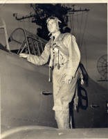
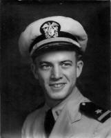
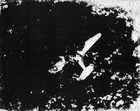
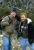
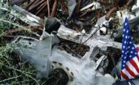
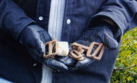
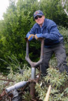
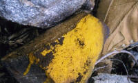
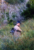
Above old Route 66, now Interstate 15 in the Cajon Pass area of San Bernardino County there was an aircraft wreck visible to motorists and passing aircraft too in the mid-1950’s. My father pointed it out to me on a trip when I was eleven or twelve years old. Whenever we passed that way I would look up on the rugged mountainside to see it, but with the passage of time it was no longer visible. While I never forgot about this plane it was not until 1965 that I learned from a Civil Air Patrol pilot that it was a Beechcraft C-45 that had crashed sometime during 1955. He knew that because it was in the California CAP Crash Locator, and he had seen it from the air too. While working in the San Bernardino Mountains during the summers in the mid-1960’s I often asked USFS Rangers if they knew about plane wrecks in areas where they worked. One Ranger who was assigned to the Cajon District recalled the wreck and described it as a navy plane with twin rudders. He said it was burned; and part of it was marked with a yellow X. He also knew that the crash had occurred in the winter of 1955, and that at least three Navy men had died in the accident. Could I reach the crash site? Not easily I was told as there are gates on the roads and the Chaparral was very heavy in that area. The ranger said climbing from the bottom would be foolhardy too. Armed with this information I could continue with research, and the result was discovering the 1/9/55 crash date. Thanks to Craig Fuller at AAIR I obtained the accident report. Another breakthrough occurred when David Haller, a BLM Surveyor provided the GPS location of Bu No 67260. Even with this information I made no plans for a SNB-4 site visitation, until an e-mail arrived from the co-pilot’s son in the fall of 2010. Kirk Lacewell wanted to reach his father’s crash site to pay his respects to a man that he hardly had a chance to know. The Project Remembrance Team immediately approved the mission. Kirk Lacewell and his son Matt would fly from their home in Florida on 12/3/10. On Saturday, 12/4/10 (Lt. Laskey Kirk Lacewell’s birthday) we drove, and then hiked to find the crash site. A major late fall storm was approaching, temps were dropping and occasional snow flurries hastened our efforts to reach our goal. The going was more difficult than expected and our progress was slowed in a season when last light was about 5:05 PM. We had left our 4x4 vehicles at 9:00AM and climbed up to the top of a ridge, from there we had to descend hundreds of feet then climb again before a final descent to the wreck site. With a tough 700 yards left to go Kirk and I agreed to have Matt Lacewell and the rest of the team press on. We were in radio contact throughout the remainder of the mission and when the wreckage was not found after an hour of looking a 15 minute last search call was made. Kirk and I assumed the worst as the sky darkened and the wind increased, but moments later a respite, the wind dropped, and a rainbow appeared. Seconds later the radio crackled “we found the plane”. Matt Lacewell was at the site and photos were being taken, prayers were said, our Nation’s flag was displayed. The team honored those lost in the crash so long ago, and saluted the courage of Kirk and Matt for completing their mission of respect and remembrance. The hike out was arduous, and cold, but we made it back to our vehicles at 4:15 PM reaching the I-15 shortly after dusk. The next day heavy rains fell across Southern California and snow blanketed the San Bernardino Mountains covering the wreckage of Bu No 67260. See detailed story by: John Kirk Lacewell
|
|
|
